Our Services

Precision land surveying and mapping solutions across Telangana.

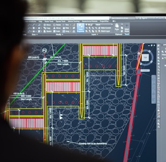
Topographical Surveys

Detailed terrain mapping using advanced instruments for accurate site analysis.

Surveyor using GPS equipment on a varied terrain in Telangana.
GIS Mapping

Creating precise GIS maps integrating spatial data for effective project planning.

Computer screen displaying detailed GIS mapping data and layers.

FAQs

What services do you offer?

We provide topographical surveys, GIS mapping, CAD drafting, GPS control surveys, and more.

Which areas do you cover?

Our services cover Hyderabad and the entire Telangana region with precise fieldwork.

How accurate are your survey results?

Using modern instruments and expert techniques, we ensure high accuracy tailored to project needs.

Survey duration varies by project size but typically ranges from a few days to two weeks.

How long does a typical survey take?
Can you handle urgent projects?

Yes, we accommodate urgent requests depending on workload and project scope.

A surveyor using a total station on a construction site in Telangana, with clear blue skies.

Precision

Capturing exact measurements for reliable land surveys.

Topographical map displayed on a computer screen showing detailed elevation contours.
GIS specialist working with layered maps on dual monitors in an office setting.
GPS receiver mounted on a tripod in a rural Telangana field during a control survey.
Survey team marking layout points with stakes and flags on a construction site.
Close-up of CAD drafting software showing detailed site plans and annotations.